Visualize with Precision

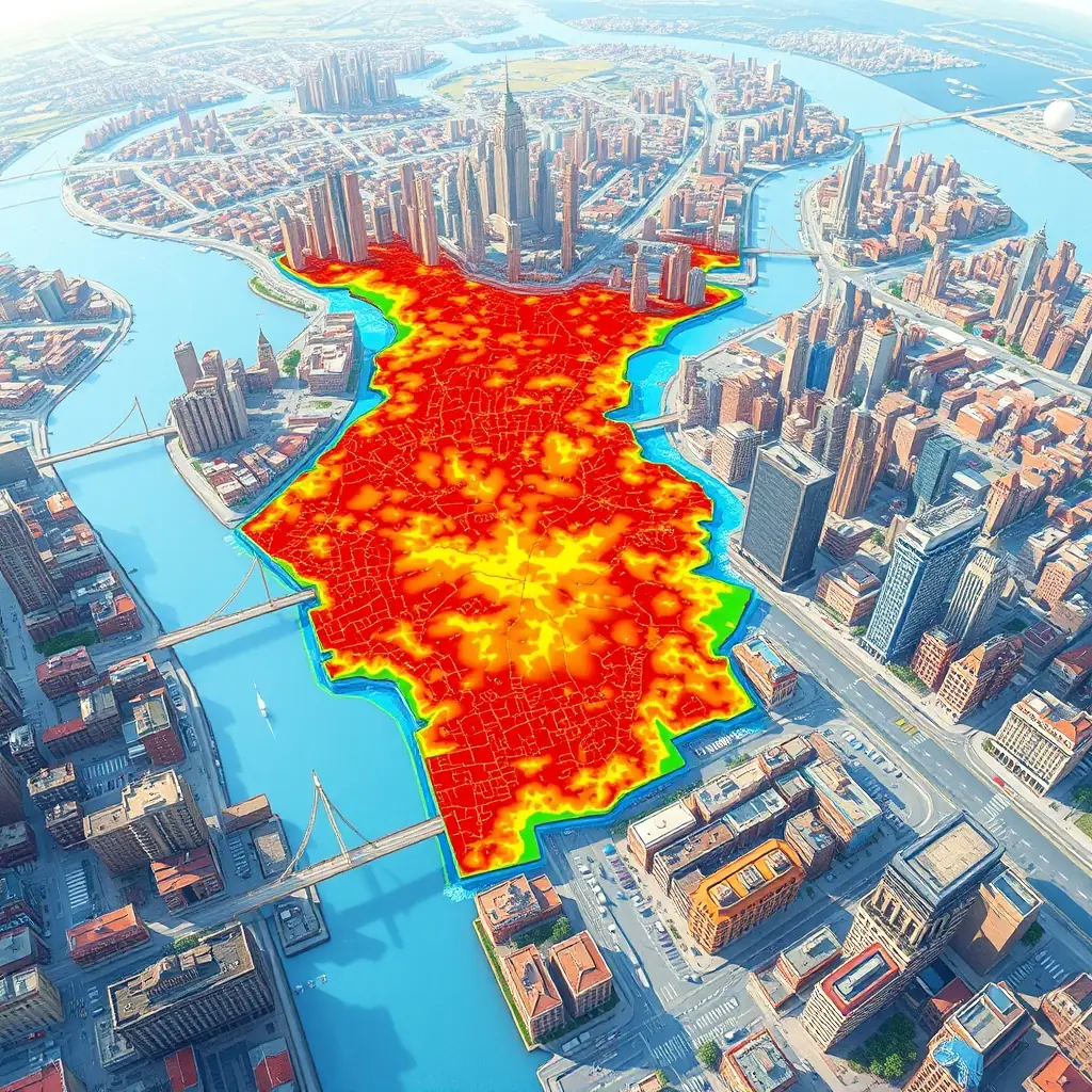
Our interactive flood maps provide detailed insights into potential flood zones, helping you make informed decisions. Access real-time data and advanced analytics to understand and mitigate flood risks effectively. Stay ahead with Atlas Geo Technologies.
A detailed, interactive flood map displayed on a client dashboard, showcasing potential flood zones in a realistic, user-friendly format. The map includes color-coded risk areas and detailed geographical data for a specific state in the USA.